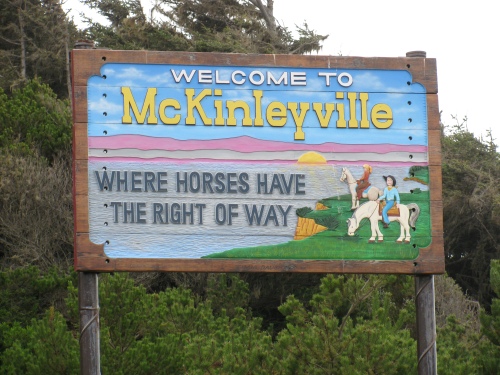
The Hammond Trail extends the length of McKinleyville, from the Hammond Trail Bridge to Strawberry Creek at Clam Beach.
 The Mad River, its mouth always on the move in the winter, empties into the Pacific Ocean near the west end of Murray Road in McKinleyville.
 The sun sets on the Fischer Ranch, located at the corner of School and Fischer roads in McKinleyville. The ranch is owned by the McKinleyville Community Services District, and used to dispose of treated wastewater, which is used to irrigate the fields.
The Hammond Bridge crosses the Mad River, providing a bicycle and pedestrian link between McKinleyville and the Arcata Bottom.
 A large portion of the Hammond Trail was built on the old Hammond Railroad line. Here are some old tracks, which can be seen along the trail north of Murray Road.
 Here’s the Mad River at the foot of School Road before rocks were installed to prevent erosion.
Mill Creek Falls is located on Turner Road, just south of Big Kmart.
The World’s Largest Totem Pole!


Hi I took some photos near Mckinlyville. Let me know if you want to post them.
beautiful photographs.
There’s no doubt about it, we live in an idyllic seaside town . Let’s hope we can keep it that way!
I love McKinleyville!! Beautiful, peaceful and homey 🙂